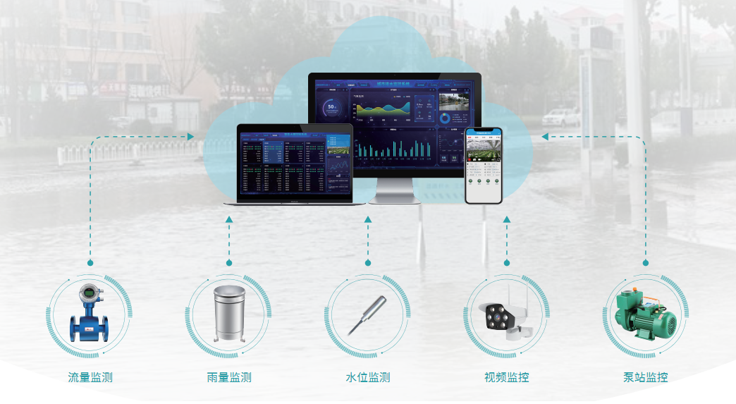
Based on GIS map technology and Juying Internet of things platform, the urban drainage monitoring system collects the real-time data of liquid level, flow rate and flow in the operation of drainage pipe network, the real situation of drainage well cover, ponding in low-lying urban areas, river water level and relevant videos through intelligent Internet of things terminal, and carries out platform monitoring through visualization to realize urban waterlogging early warning and drainage monitoring.

Program value
Drainage pipe network and flow velocity monitoring, rainfall monitoring, low-lying tunnel bridge water level monitoring, river water level monitoring, outfall monitoring and video monitoring;
Remotely monitor the drainage pump station to realize intelligent drainage and waterlogging prevention, and evaluate the urban drainage and waterlogging prevention capacity in real time; Based on GIS map technology, the geographical information of each monitoring point and various monitored data are displayed in a visual way;
When the monitoring data is abnormal, remote early warning shall be carried out through platform / SMS / telephone and the administrator shall be notified;
All data of monitoring points are recorded in real time and saved on the cloud platform. Query curve analysis chart and export data record report can be downloaded at any time.
Application scenario


 Manager Wang
 OfficialAccounts